The parish
The civil parish of Artington in Surrey was created in 1894 and is a part of the ancient ecclesiastical parish of Guildford, St Nicholas. It is mainly rural with a population of approximately 350 people living in 120 households.
The parish is broadly rectangular being bounded by:
North Downs Way to the north.
A line just south of New Pond Road (B3000) to the south.
The River Wey to the east.
A line just west of Loseley House to the west.
The extract from the Ordnance Survey map shows the bounds of Artington.
There have been quite a few changes since John Rocque made his map of Surrey over 250 years ago, notably the enclosure of the Pease Marsh Common around 1810 and the building of the railway in the 1840s, but Artington is still a largely rural parish.
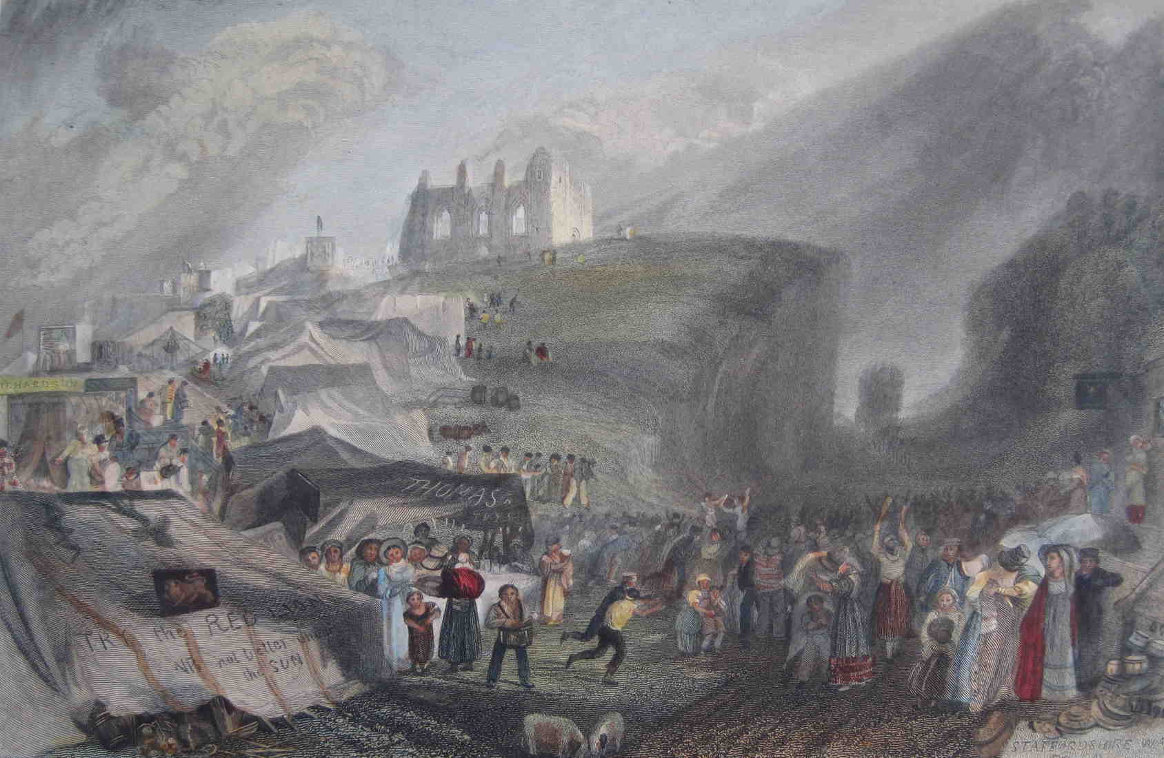
Artington is small but perfectly formed, some might say, and these photos of the parish give a flavour of the place - whilst Turner's painting of St Catherine's Fair shows the great annual social event of centuries past.
